
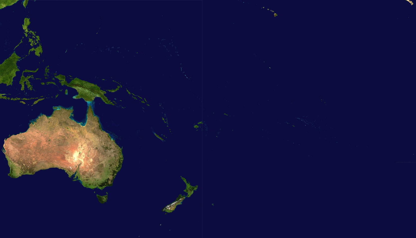
Datei:Oceania satellite.jpg
Zur Navigation springen
Zur Suche springen
Größe dieser Vorschau: 800 × 458 Pixel. Weitere Auflösungen: 320 × 183 Pixel | 640 × 367 Pixel | 1.024 × 587 Pixel | 1.670 × 957 Pixel
Originaldatei (1.670 × 957 Pixel, Dateigröße: 111 KB, MIME-Typ: image/jpeg)
![]()
Diese Datei und die Informationen unter dem roten Trennstrich werden aus dem zentralen Medienarchiv Wikimedia Commons eingebunden.
![]()
source: http://visibleearth.nasa.gov/images/2433/land_shallow_topo_21600.tif Archivkopie in der Wayback Machine11
| Diese Datei ist gemeinfrei (Public domain11), da sie von der NASA11 erstellt worden ist. Die NASA-Urheberrechtsrichtlinie besagt, dass „NASA-Material nicht durch Urheberrecht geschützt ist, wenn es nicht anders angegeben ist“. (NASA-Urheberrechtsrichtlinie-Seite oder JPL Image Use Policy). | ||
 |
Warnung:
|
Dateiversionen
Klicke auf einen Zeitpunkt, um diese Version zu laden.
| Version vom | Vorschaubild | Maße | Benutzer | Kommentar | |
|---|---|---|---|---|---|
| aktuell | 20:54, 14. Jun. 2023 | | 1.670 × 957 (111 KB) | Treetoes023 | Didn't work the first time so I'm trying again. |
| 20:46, 14. Jun. 2023 |  | 1.664 × 961 (111 KB) | Treetoes023 | Zoomed in image to remove unnecessary areas outside of Oceania. | |
| 10:05, 19. Aug. 2005 |  | 2.349 × 1.155 (755 KB) | っ | source: http://visibleearth.nasa.gov/images/2433/land_shallow_topo_21600.tif {{PD-USGov-NASA}} Category:Maps of Oceania Oceania |
Dateiverwendung
Die folgende Seite verwendet diese Datei:
Globale Dateiverwendung
Die nachfolgenden anderen Wikis verwenden diese Datei:
- Verwendung auf af.wikipedia.org
- Verwendung auf ar.wikipedia.org
- Verwendung auf ar.wikinews.org
- Verwendung auf arz.wikipedia.org
- Verwendung auf ast.wikipedia.org
- Verwendung auf ba.wikipedia.org
- Verwendung auf ca.wikipedia.org
- Verwendung auf cdo.wikipedia.org
- Verwendung auf co.wikipedia.org
- Verwendung auf crh.wikipedia.org
- Verwendung auf cs.wikipedia.org
- Verwendung auf cy.wikipedia.org
- Verwendung auf el.wikipedia.org
- Verwendung auf en.wikipedia.org
- Verwendung auf en.wikivoyage.org
- Verwendung auf eo.wikipedia.org
- Verwendung auf es.wikipedia.org
- Verwendung auf es.wikivoyage.org
- Verwendung auf et.wikipedia.org
- Verwendung auf eu.wikipedia.org
- Verwendung auf fiu-vro.wikipedia.org
- Verwendung auf fi.wikipedia.org
- Verwendung auf fo.wikipedia.org
- Verwendung auf fr.wikipedia.org
Weitere globale Verwendungen dieser Datei anschauen.