
Datei:Map of the western Florida Keys, from the Dry Tortugas to Little Torch Key, showing boundaries of National Marine Sanctuaries 2000.jpg
Zur Navigation springen
Zur Suche springen

Größe dieser Vorschau: 783 × 600 Pixel. Weitere Auflösungen: 313 × 240 Pixel | 627 × 480 Pixel | 1.003 × 768 Pixel | 1.280 × 980 Pixel | 1.957 × 1.499 Pixel
Originaldatei (1.957 × 1.499 Pixel, Dateigröße: 484 KB, MIME-Typ: image/jpeg)
![]()
Diese Datei und die Informationen unter dem roten Trennstrich werden aus dem zentralen Medienarchiv Wikimedia Commons eingebunden.
![]()
Beschreibung
| Beschreibung |
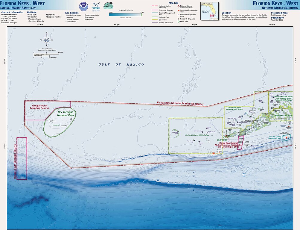
English: Map of the Florida Keys, showing National Marine Sanctuaries |
| Datum | |
| Quelle | http://sanctuaries.noaa.gov/pgallery/atlasmaps/fkwest.html |
| Urheber | Sanctuaries Web Team of National Ocean Service of National Oceanic and Atmospheric Administration of U.S. Department of Commerce |
| Genehmigung (Weiternutzung dieser Datei) |
U.S. Federal Government work, therefore public domain |
Lizenz
Diese Datei ist gemeinfrei (Public domain11), weil sie Material enthält, das von einem Angestellten der National Oceanic and Atmospheric Administration11 im Verlaufe seiner offiziellen Arbeit erstellt wurde.
|
Ursprüngliches Datei-Logbuch
Die ursprüngliche Dateibeschreibungsseite war 2000.jpg hier. Alle folgenden Benutzernamen beziehen sich auf en.wikipedia.
- 2008-11-16 17:32 Nricardo 2000×1550× (406095 bytes) {{Information |Description=Map of the Florida Keys, showing National Marine Sanctuaries |Source=http://sanctuaries.noaa.gov/pgallery/atlasmaps/fkwest.html |Date=2008-11-16 |Author=Sanctuaries Web Team of National Ocean Service of National Oceanic and Atm
Dateiversionen
Klicke auf einen Zeitpunkt, um diese Version zu laden.
| Version vom | Vorschaubild | Maße | Benutzer | Kommentar | |
|---|---|---|---|---|---|
| aktuell | 10:57, 29. Jul. 2017 | | 1.957 × 1.499 (484 KB) | ديفيد عادل وهبة خليل 2 | Removed border by cropping 2 % horizontally and 3 % vertically using CropTool with precise mode. |
| 12:34, 26. Apr. 2009 |  | 2.000 × 1.550 (397 KB) | Urdangaray | {{Information |Description={{en|Map of the Florida Keys, showing National Marine Sanctuaries}} |Source=Transferred from [http://en.wikipedia.org en.wikipedia]<br/> (Original text : ''http://sanctuaries.noaa.gov/pgallery/atlasmaps/fkwest.html'') |Date={{Da |
Dateiverwendung
Die folgende Seite verwendet diese Datei:
Globale Dateiverwendung
Die nachfolgenden anderen Wikis verwenden diese Datei:
- Verwendung auf en.wikipedia.org
- Verwendung auf es.wikipedia.org
- Verwendung auf pl.wikipedia.org
- Verwendung auf ru.wikipedia.org
- Verwendung auf uk.wikipedia.org